
Working a Staten Island Street
A useful Staten Island street directory search starts with one exact number and street name, then keeps the records in their proper roles. The Department of Finance property search connects an address to a tax-map parcel. That parcel has a BBL, the borough-block-lot identifier used across several city and county systems. The BBL gives the most stable link when a road name, numbering pattern, or neighborhood label has changed. From there, the deed index can identify transfer parties, while building files can date work and name applicants or licensees. Older reverse directories, maps, and newspapers add historic address context.
- Enter the address in the NYC Department of Finance Property Information Portal, then save the Staten Island BBL and the exact situs address.
- Open the parcel and map views. Record the tax-map history and the BBLs for lots that share the same street segment.
- Search the Richmond County Clerk by Block and Lot. Compare the latest transfer parties, date, document number, and book or page reference.
- Use DOB BIS and DOB NOW for permits, complaints, inspections, and filings tied to the address. Check both systems because they do not contain the same filing set.
- For a known person only, use the voter form with the required identity fields. Then use NYPL or Historical Society directory material for earlier street entries.
That sequence is a record trail, not a roster. A deed party may be an owner, lender, trustee, or representative. A building filing may name a professional or applicant. Treat every name as evidence that needs a second source.
Staten Island Street BBL Searches
The Property Information Portal, usually called PIP, accepts a full address, an intersection or common-place name, and several tax-map identifiers. For a street search, start with the address result rather than assuming that a postal description matches the map. PIP also accepts borough, block, and lot; condominium number; co-op development number; REUC identifier; air-lot number; and subterranean-lot number. Select Staten Island in the borough control before entering a block. A complete BBL is especially useful when an older record describes land without a modern street number.
| PIP field | Use for a street search |
|---|---|
| Borough, Block, Lot | Build or confirm the tax-map key for one parcel. |
| Address | Enter an address, intersection, or common-place name. |
| Condominium Number | Open a condominium record when that number is known. |
| Co-op Development Number | Search a co-op development identifier. |
| REUC Ident | Search a real-estate-use code identifier. |
| Air Lot or Subterranean Lot | Search the special tax-map lot types shown by PIP. |
The PIP user guide says a successful borough-and-block search highlights the block and displays a Tax Map History card. A block that is not found returns a specific error, so recheck the borough and digits before changing the street spelling.
Staten Island Street Address Roles
Keep a parcel's situs and mailing information on separate lines. The situs address is the physical location used by the map and building systems. A tax or assessment account can use a different mailing address for official notices. That second address may belong to an office, bank, relative, attorney, or another property. It is a correspondence lead, not proof that a person lives at the Staten Island street address. The inspected PIP sample did not expose every owner field in extracted text, so the safest practice is to check the live account and assessment pages rather than promise a universal owner-name result.
PIP parcel cards can show tax class, building count, year built, stories, total area, land measurements, zoning, assessed-value history, exemptions, sales, mortgages, and district links. Those fields help distinguish land facts from person facts. They also make the BBL a better handoff to the clerk than a street name alone.
Map Staten Island Street Parcels
PIP's map is most useful for the geometry around an address. A borough-and-block query highlights the target block and opens Tax Map History. The parcel card can link onward to CityMaps and ZOLA, where zoning, land use, community district, school district, and other map layers provide location context. The captured research did not document a public one-click adjacent-parcel or buffer control. Work along a street manually: open a parcel, note its BBL, then inspect each adjoining lot and retain the frontage and lot-depth clues with the address.
The PIP parcel-card example used in the research illustrates the map-to-card starting point.
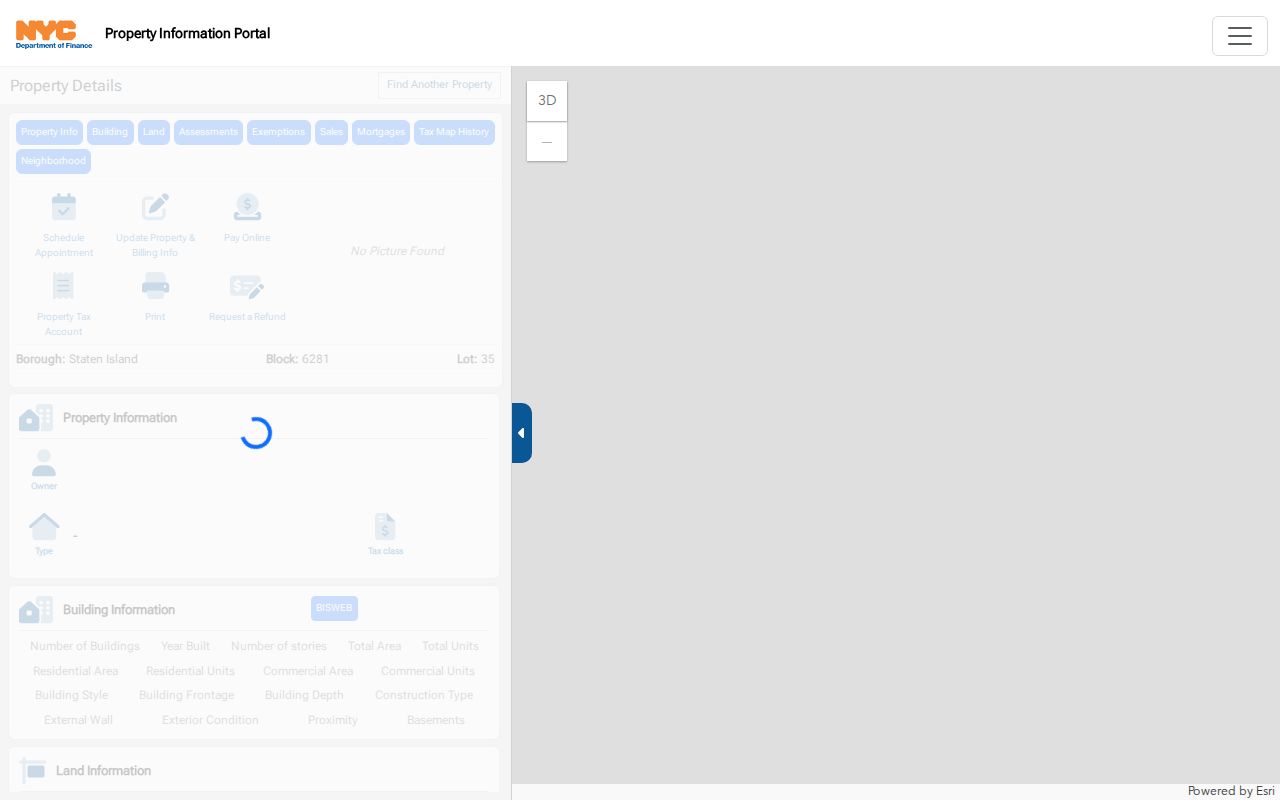
A parcel card gives a street-directory search a stable BBL before the search moves to deeds, maps, or building records.
Staten Island Street Deed Records
Staten Island does not use ACRIS for its borough land records. NYC311 directs a Staten Island property requester to the Richmond County Clerk website or office. The clerk's Land Documents Search has six documented tabs: Document Number, Party or Company Name, Date Range, Block and Lot, Book and Page, and Book and Page Special. For a street address, search Block and Lot first. Then use party and date searches to test the grantor and grantee trail. A grantor transfers an interest; a grantee receives one. Neither role is a residence finding by itself.
The landing page does not state the earliest online coverage year. Do not turn an empty web result into a date cutoff. The fallback is the clerk counter at County Court House, 130 Stuyvesant Place, Staten Island, NY 10301, or its historical books and references. NYC311 lists the clerk at 718-675-7700 with weekday hours. Fees and copy choices are linked on the clerk site, but the captured research did not expose amounts.
The Richmond County Clerk search homepage is the source of this local land-record image.
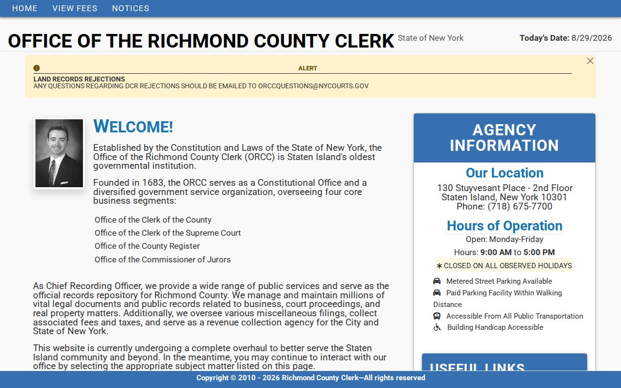
Save the BBL, document number, book or page, and recording date together so a later counter search can reproduce the online result.
Staten Island Street Building Files
Building records add dates and administrative names to a street directory search. DOB BIS has Property search modes for house number and street, block and lot, BIN, and Browse Block and Lot. It also offers complaint, 311 reference, OATH or ECB violation, filing, permit, licensee, work-order, and certificate-of-occupancy searches. BIS warns that DOB NOW filings are not included there. Use the public DOB NOW portal for newer filing status, property profile details, permits, and licensee searches. Its BBL search lets a user choose Staten Island, enter a block, and optionally omit the lot to get a grid of possible lots.
Permits and complaints concern work or an allegation at a property. They are not a household list. A clean BIS result is not a complete building history because the newer DOB NOW system remains separate, and the BIS page notes that some 2022 transactions may be missing after a data-center power outage.
The NYC311 Staten Island deed guidance provides the routing context for the address-record chain.
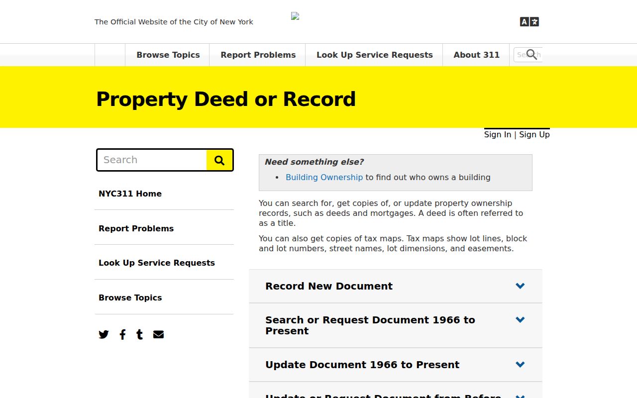
Use the official route before paying a private mailer for a land-record copy or relying on an unfamiliar request notice.
Staten Island Street Record Trail
Several custodians hold pieces of an address history. The following records form a Staten Island street directory trail, but each answers a different question. The chain is strongest when the same BBL, legal description, or dated address appears in more than one record.
| Record set | Keeper | Address evidence | Access |
|---|---|---|---|
| PIP parcel card | NYC Department of Finance | BBL, tax class, building and land facts, sales and mortgages | Public portal |
| Land instruments | Richmond County Clerk | Transfer parties, instrument, legal description, book and page | Web or counter; online start year not stated |
| PIP map and planning maps | DOF and NYC Planning | Parcel geometry, districts, land use, and zoning | Public map links |
| DOB BIS and DOB NOW | NYC Department of Buildings | Filings, permits, complaints, inspections, violations, and licensees | Public web, split systems |
| Reverse directories | NYPL and Staten Island Historical Society | Historic address-to-name or business entries | In-library and microfilm |
| Voter verification | NYC Board of Elections | Match for one known identity | Public form, not a street roster |
Plats and tax maps bridge the legal lot to the current street. The 1907 atlas and 1898 Sanborn sheets can show an earlier road or structure, but neither is an ownership record. Use them to resolve changed geography before deciding that a record belongs to a different place.
Staten Island Street Voter Checks
The NYC Am I Registered? form is for confirming a known voter, not browsing a street. It requires first name, last name, full birth date, borough, and ZIP code, with the information entered exactly as it appears on the record. A non-match can result from a spelling, birth-date, ZIP, apartment, borough, or inactivity issue. It does not prove that someone never lived at the address. The result fields were not inspected with a match, so do not assume the form returns party, district, registration date, or voting history.
A broader New York voter-file request follows a different legal route. The state Board of Elections FOIL material requires a written request and an election-purpose statement under Election Law section 3-103(5). Confidential registrations are unavailable for public inspection or copying. That is why an address-to-BBL path cannot become a public list of everyone on a street.
Staten Island Street Directory History
For a past street entry, the NYPL Staten Island History Collection at St. George is the first local shelf to check. Its official description lists more than 300 bound volumes from the last quarter of the nineteenth century to the present, a 1907 street atlas, nineteenth-century atlas microfilm, Staten Island Advance microfilm for 1921 through 2018, and digitized Richmond County Advance material for 1886 through 1922. A valid library card is required for the stated History Collection digital resources. The site does not publish a complete directory inventory, so verify an exact volume before depending on a year.
Reverse or criss-cross volumes begin with the street and number, then point toward an alphabetical entry. Record the exact spelling, abbreviation, and neighboring addresses from the page. The historical collections behind that work are described in the Staten Island Directory Book, while the current street directory stays focused on address-keyed records.
Note: Old sources may use Borough of Richmond, a former town or village name, or an earlier street description instead of today's postal form.
Staten Island Street Directory Terms
Address research is easier when the map, land, and directory terms are kept distinct. These definitions describe the terms used in Staten Island records.
- Parcel
- A mapped piece of land identified in the tax system, commonly by its BBL.
- Situs address
- The physical address of the parcel, as used by the map and building systems.
- Mailing address
- An address for notices that can differ from the situs and does not establish occupancy.
- Plat
- A subdivision or map record used to compare lot lines and older legal descriptions.
- Criss-cross directory
- A reverse directory arranged by street and number rather than alphabetically by name.
A BBL, a postal address, and a legal description can all refer to the same place, yet each is used differently by the custodian.
Staten Island Street Search Limits
A Staten Island street directory cannot show every person connected to an address. Someone who never appears in an indexed public filing may be absent. Utility and delivery lists are not public rosters, and DMV address data is restricted under the federal Driver's Privacy Protection Act. Protected voter registrations and New York Address Confidentiality Program records are withheld or use a substitute address. A property tax mailing address may point outside the borough and still say nothing about a household at the situs.
Use names and addresses for personal, lawful research, family history, property questions, or civic record checking. Do not treat an ownership record, building filing, or voter match as proof of current residence without independent confirmation.
Lawful use. Records may not be used to stalk, harass, threaten, or intimidate anyone. Preserve only the minimum needed for a legitimate question and verify errors with the responsible custodian.