
Staten Island ZIP Code Coverage
Thirteen ZIP areas are commonly associated with Staten Island mailing geography. They are useful starting labels, not official exact-boundary results. Neighborhood coverage and station names in the table are drawn from the local research and should be checked against USPS for a specific address. A ZIP boundary follows delivery geography, so an address result controls over a broad neighborhood description.
| ZIP | Areas Covered | Post Office | Notes |
|---|---|---|---|
| 10301 | St. George, Tompkinsville, Stapleton, Clifton, and North Shore areas | St. George or Staten Island operations, exact station not verified | North Shore labels vary |
| 10302 | Port Richmond, Elm Park, and parts of the North Shore | Staten Island station, exact station not verified | Borough and city labels can differ |
| 10303 | Mariners Harbor, Arlington, Graniteville, and Travis-adjacent north and west areas | Staten Island station, exact station not verified | Delivery geography controls |
| 10304 | Rosebank, Park Hill, Concord, Todt Hill, and nearby central-north areas | Staten Island station, exact station not verified | Mixed neighborhood names |
| 10305 | South Beach, Rosebank shore, and Midland Beach-adjacent areas | Staten Island station, exact station not verified | Includes Board of Elections postal context |
| 10306 | New Dorp, Oakwood, Midland Beach, and Grant City | Staten Island station, exact station not verified | Hylan Boulevard corridor |
| 10307 | Tottenville | Tottenville station, exact station not verified | Southern tip and historic village identity |
| 10308 | Great Kills, Bay Terrace, and Richmond Valley-adjacent areas | Great Kills station, exact station not verified | Southeast delivery geography |
| 10309 | Charleston, Rossville, Pleasant Plains, Prince's Bay, and nearby south areas | Staten Island station, exact station not verified | South and west growth areas |
| 10310 | West Brighton, Randall Manor, Silver Lake, and Livingston | Staten Island station, exact station not verified | Central North Shore |
| 10311 | Egbertville, Lighthouse Hill, Todt Hill, and central areas | Staten Island station, exact station not verified | Postal edges need USPS check |
| 10312 | Annadale, Eltingville, Huguenot, Arden Heights, and Greenridge | Staten Island station, exact station not verified | Southwest and central-south areas |
| 10314 | New Springville, Graniteville, Willowbrook, Travis, and Bulls Head | Staten Island station, exact station not verified | Large mixed central area |
10313 was not verified as a current general Staten Island delivery ZIP in the research, so it is not included as confirmed coverage. The table is intentionally cautious about post-office assignments because no official USPS station capture was obtained.
Staten Island ZIP Code Geography
Staten Island is both a New York City borough and Richmond County, yet its postal and neighborhood labels do not always line up with government fields. There are no incorporated-city ZIP pockets to separate from the county, but an address may use Staten Island, a neighborhood, or a post-office label while a tax, court, or map system uses Richmond County or a city borough field. North Shore names such as St. George, Tompkinsville, Stapleton, Port Richmond, Mariners Harbor, and West Brighton have different local use from central and South Shore names such as New Springville, New Dorp, Great Kills, Annadale, Tottenville, Charleston, and Rossville.
Postal boundaries are delivery routes, not borough law. They can cross neighborhood, census-tract, and delivery-route lines. Preserve the exact postal address alongside the BBL, legal description, street, cross street, and historic town or village label. That small record of context prevents a postal-directory search from mistaking a neighborhood description for a tax-map boundary.
Verify Staten Island ZIP Addresses
Use the official USPS address lookup before treating a ZIP as part of a record trail. Enter the complete address, then retain the returned ZIP with the street form used by USPS. Do not substitute a Census ZCTA for that result. A ZCTA is a statistical approximation, while USPS delivers to an exact address. The research did not capture official boundary polygons or a confirmed historical realignment date for Staten Island, so a broad online map cannot fill that gap.
The USPS postal lookup is the source of the postal-verification image.
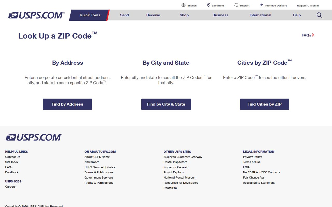
A verified delivery result narrows an address search. It does not prove a person's connection to the address or establish a parcel boundary.
Search a Staten Island ZIP
A postal-area directory works best as a narrowing tool. The local portals documented in the research do not offer a dependable command to show every person in a ZIP. PIP is address and BBL based. DOB searches use address, BIN, BBL, complaint, permit, or date controls. The NYC voter form uses ZIP only as one part of an exact identity check. Start with a verified address and move into the record system that matches the question.
- Verify the full delivery address through USPS and save the ZIP returned for that address.
- Enter the address in PIP to obtain the Staten Island borough, block, and lot, then retain the situs address separately from any mailing address.
- For a building question, use the address or BBL in DOB BIS and DOB NOW. Check both systems because their filing coverage differs.
- For a known voter, enter first name, last name, full birth date, Staten Island as borough, and the ZIP in the NYC form.
- When the area has been narrowed to a street, use the Staten Island street directory for the address-by-address record trail.
Group parcel notes by a verified ZIP only after the individual addresses are identified. That is a researcher-created list, not a public ZIP-wide roster supplied by PIP, DOB, or the voter portal.
Staten Island ZIP Voter Fields
The NYC Am I Registered? form makes ZIP a required confirmation field, but not a public search filter. It says the information must be entered exactly as it appears on the voter record and is limited to NYC voters. The form can help test a known identity and address combination. It is not a way to browse a ZIP, a block, or a neighborhood for names.
| Field | Type | Required | Format or role |
|---|---|---|---|
| First Name | Text | Yes | Use exact voter-record spelling. |
| Last Name | Text | Yes | Use exact voter-record spelling. |
| Birth Date | Three inputs | Yes | Month, day, and year. |
| Borough | Dropdown | Yes | Select Staten Island. |
| Zip Code | Text | Yes | ZIP associated with the registration. |
| Search | Button | No | Returns a match or non-match. |
The NYC voter enrollment totals page is the source of this image.
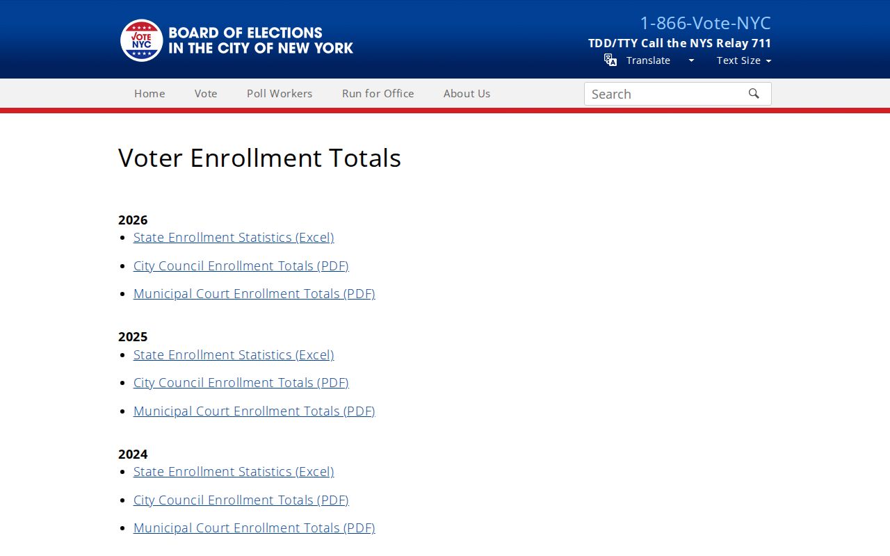
Enrollment totals can describe aggregate borough or district activity. They do not identify individual voters within one delivery area.
Staten Island ZIP and BBL
A postal delivery code and a BBL solve different location problems. The BBL is Borough-Block-Lot, the tax-map identifier used by NYC Department of Finance property systems. PIP can find an address, intersection, common-place name, borough and block, complete BBL, condominium number, co-op development number, REUC identifier, air lot, or subterranean lot. Its borough dropdown calls the borough Staten Island. A block search highlights the block and presents Tax Map History. PIP may display a ZIP in an address result, but its documented search modes are not ZIP-wide.
DOB NOW likewise uses borough, block, and optional lot for its BBL mode, and leaving out lot can return a grid of possible lots. That makes BBL the bridge for parcel and building research. The ZIP remains a delivery clue. A legal description or subdivision plat may be needed when an older instrument lacks today's house number.
Staten Island ZIP Code Terms
Postal and tax-map terms should not be used as if they mean the same thing. These short definitions keep a Staten Island postal-area search tied to the right system.
- ZIP code
- A USPS delivery-area code connected to an address, not a governmental boundary or person list.
- ZIP+4
- An added four-digit delivery detail that further sorts mail within the basic ZIP.
- PO Box ZIP
- A ZIP used for post-office boxes, which may not describe a street-delivery area.
- Carrier route
- A USPS delivery grouping used to organize mail service within an area.
- BBL
- The borough-block-lot tax-map identifier used to locate a specific NYC parcel.
A ZIP may include post-office boxes, business delivery points, or large facilities. That is another reason a ZIP result cannot establish a household at a street address.
Historical Staten Island ZIP Research
Postal codes do not help with older records from before the ZIP era. Search those sources with the exact street, former town or village name, cross street, county, and any known lot description. A modern address can disappear from a historical index because the source says Borough of Richmond, Richmond Town, or another local place name. Streets can also be renamed, extended, split, or renumbered. Compare the current BBL and map geometry to a directory, atlas, or plat before deciding that a historical address is unrelated.
The NYPL Staten Island History Collection holds more than 300 bound volumes, a 1907 street atlas, nineteenth-century atlas microfilm, Staten Island Advance microfilm for 1921 through 2018, and Richmond County Advance material for 1886 through 1922. These sources provide the former address language that a postal directory cannot supply. The 1898 Sanborn set has 104 sheets and can add building and street context, but it is not an ownership record.
Note: Retain the postal ZIP with the modern address, but use historical place names and map references when searching older directories or census material.
Staten Island ZIP Request Limits
A statewide or multi-district voter file is requested through the New York State Board of Elections, not through the public matching form. The Board of Elections FOIL request guidance requires a written request through the records-access channel and a statement that voter-registration information will be used for an election purpose under Election Law section 3-103(5). The research describes large files as zipped ASCII comma-delimited data with a layout. Requesting a Richmond or borough scope, election date, and layout is more precise than asking an agency to create a ZIP report.
The state guidance is the source of this records-request image.
Confidential voter registrations are kept separately and cannot be inspected or copied by the public. A ZIP label does not remove that protection.
Staten Island ZIP Code Boundaries
The last step is a boundary check. A Staten Island postal area can overlap a neighborhood name, a city planning area, or a census geography without matching its edge. The proper chain is exact postal address, then PIP situs and BBL, then the legal description or map if a land record needs to be matched. A tax mailing address can point elsewhere, so it should not be treated as the physical parcel address. No verified Staten Island ZIP split or realignment year was located in the research, and no official USPS exact-boundary capture was available.
Use only the information needed for a lawful personal, family-history, property, or civic question. A postal result, owner field, or voter match is not enough to establish where a person currently lives.
Address privacy. Do not use records to stalk, harass, threaten, or intimidate anyone. Protected and substitute addresses must remain protected, even when other records share a similar postal area.